Know when
swarms get close.
AcreScope maps locust swarms in real time and reads the environment around your fields, so you can act before they arrive.


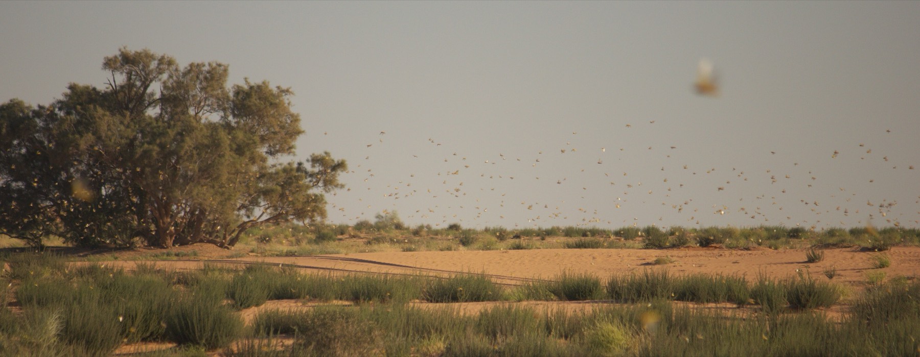
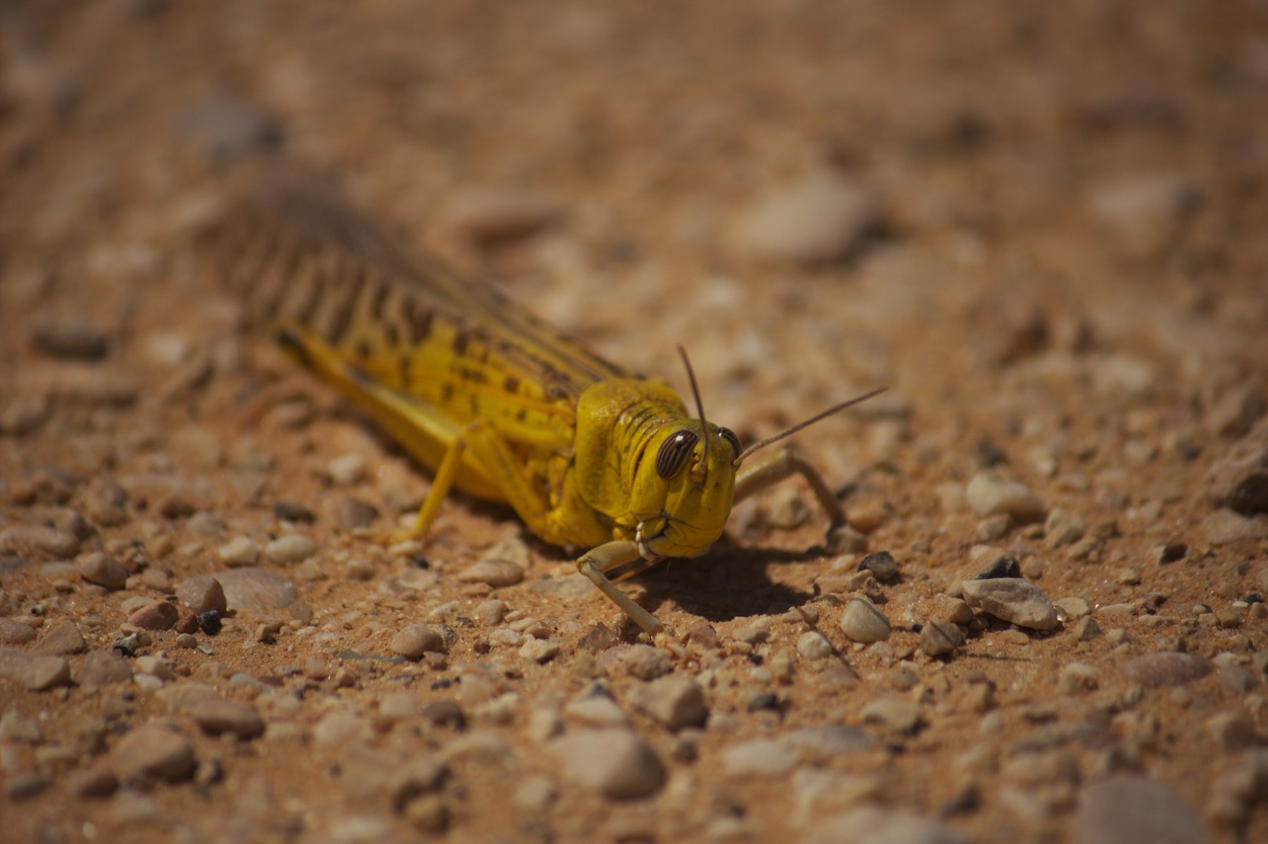 Photos: Adam Matan / Wikimedia Commons · CC BY-SA 3.0 (cropped)
Desert locusts are the oldest migratory pest in the world, and the fastest to turn a harvest into nothing.
When rains and warmth align, solitary insects gather, breed, and form swarms that darken the sky. They cross borders in hours and strip fields in minutes, threatening the food security of one in ten people on earth.
Watch the swarm move.
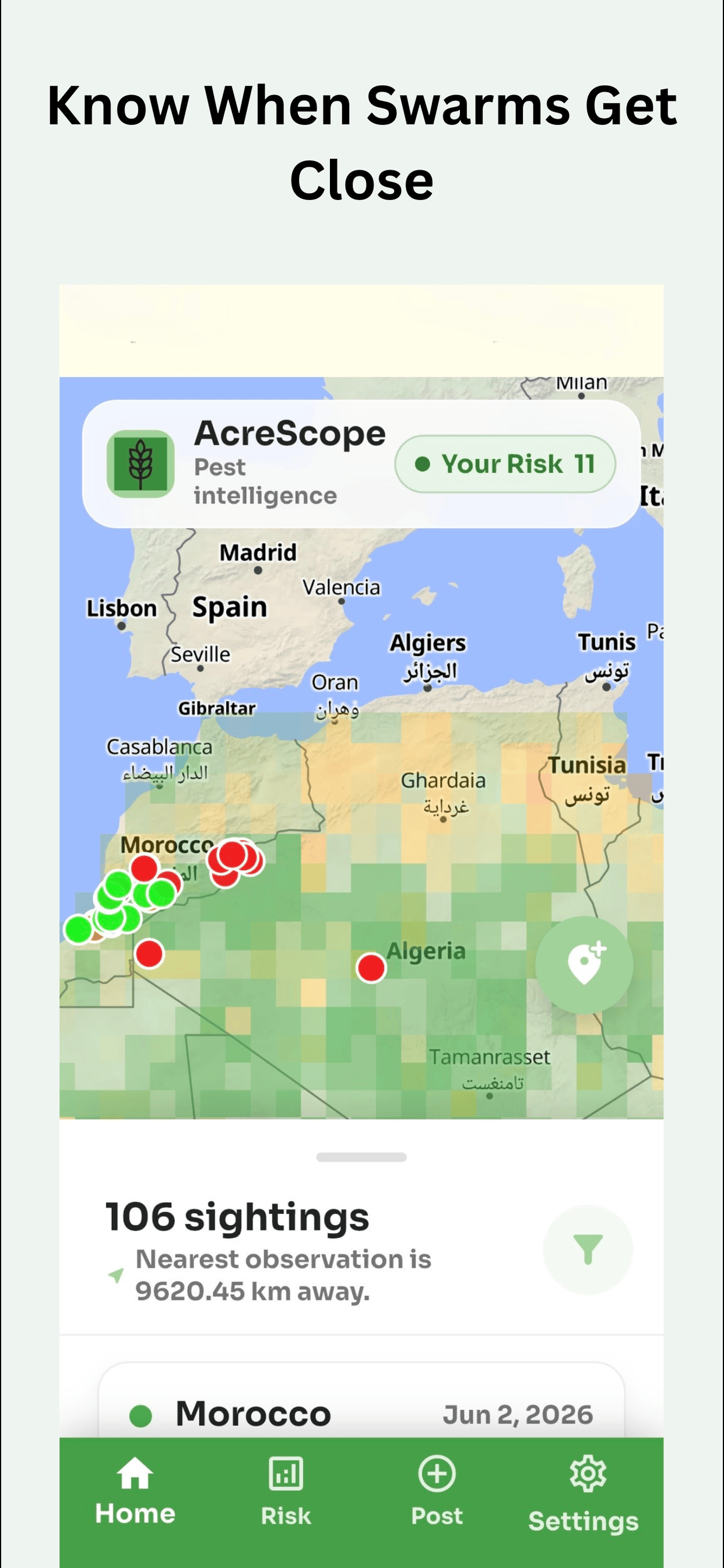
Real-time sightings from the global network. Pan the map; the list follows. Prepare before they arrive.
Sightings In View
LiveA six-point read on your land.
Pick anywhere on earth and see the same environmental signals AcreScope weighs to estimate locust risk, pulled live from satellite data.
- PrecipitationNASA GPM
- Soil MoistureNASA GLDAS
- Vegetation (NDVI)MODIS MOD13
- Temperature (LST)MODIS MOD11
- Wind SpeedGLDAS
- Wind DirectionGLDAS
* AcreScope is an independent project and is not affiliated with the FAO, NASA, or Google Earth Engine.
Built for the people who feed the world.
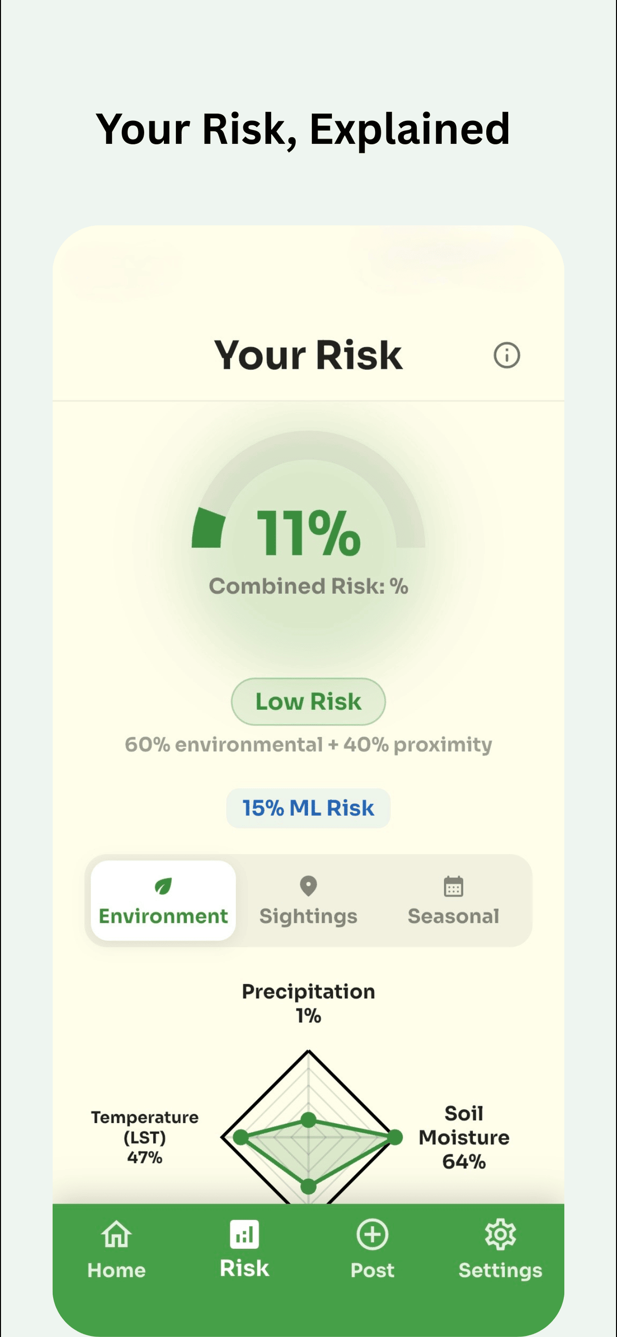
Read the risk before it reads your fields
A combined risk score blends environmental signals with how close swarms actually are, so a number means something you can act on.
- Precipitation, soil moisture, vegetation & temperature
- Calibrated to the risk level you choose to act on
- Low / Moderate / High / Critical at a glance

Every sighting, near you, as it lands
Browse confirmed reports from official sources and the field community on one live map, sorted by distance, dated, and labelled by behaviour.
- Official FAO observations + community reports
- Filter by recency, distance and risk level
- Nearest sighting, always one tap away
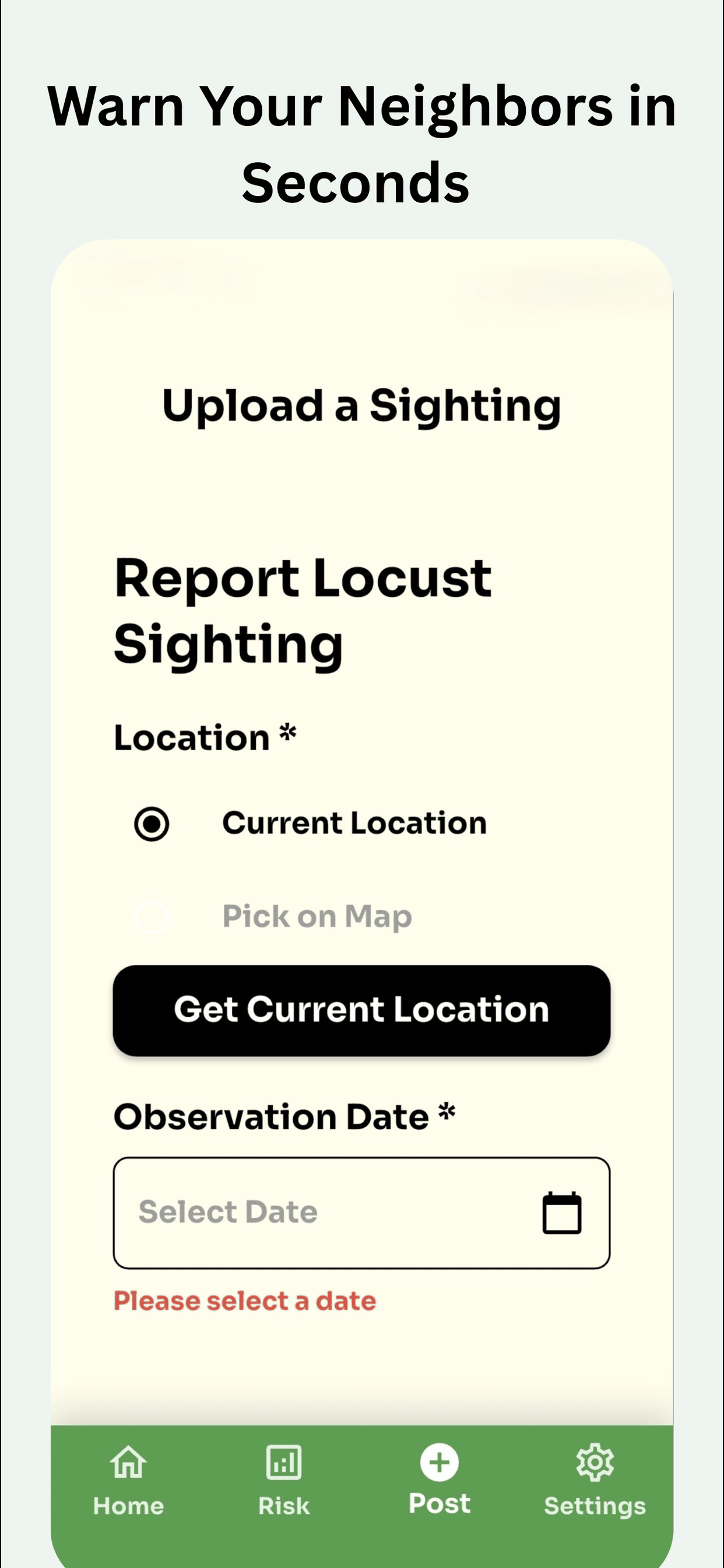
Warn your neighbours in seconds
Spot a swarm? File a report with location, behaviour and maturity, and the early-warning network sees it within seconds.
- Pseudonymous, private by default
- Pin a location or use your current position
- Reviewed before it reaches the community
Quiet until it matters.
Designed for clarity in the field, surfacing only the next thing you need to know.
From a sighting to a warning.
Data comes in
FAO field teams and the community report sightings, while satellites stream the environmental conditions around them. AcreScope is not affiliated with the FAO.
The model reads it
AcreScope weighs environmental signals against swarm proximity and global weather to estimate where risk is building.
You get the warning
When a swarm enters range of your fields, AcreScope tells you, early enough to do something about it.
Serious tooling, without the catch.
Free, no sign-up
Install and use it immediately. No account, no paywall, and no friction.
No ads, ever
We don't sell your data or rent your attention. The product is the warning, not you.
Privacy by default
Reports are pseudonymous, tied to an install, never your name. You stay in control of location.
Four languages
English, Français, Kiswahili and العربية. Built for the regions that face locusts first.
Credible Data
Risk is grounded in NASA earth-observation data and the FAO's official locust record. AcreScope is an independent project, not affiliated with NASA or the FAO.
Ready offline
Cached tiles and local storage keep the essentials working where connectivity doesn't.
Protect what you grow.
Join the early-warning network that watches the sky so you can watch your fields. Free on iPhone and Android today.